

FPV Quadcopter (Basics & Advanced)
Drones, quadcopters, or unmanned aerial vehicles (UAVs) are an important technology of the future.
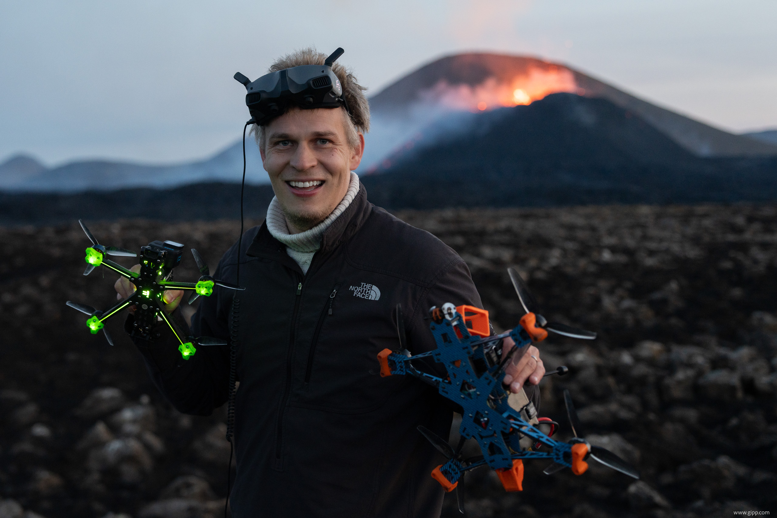
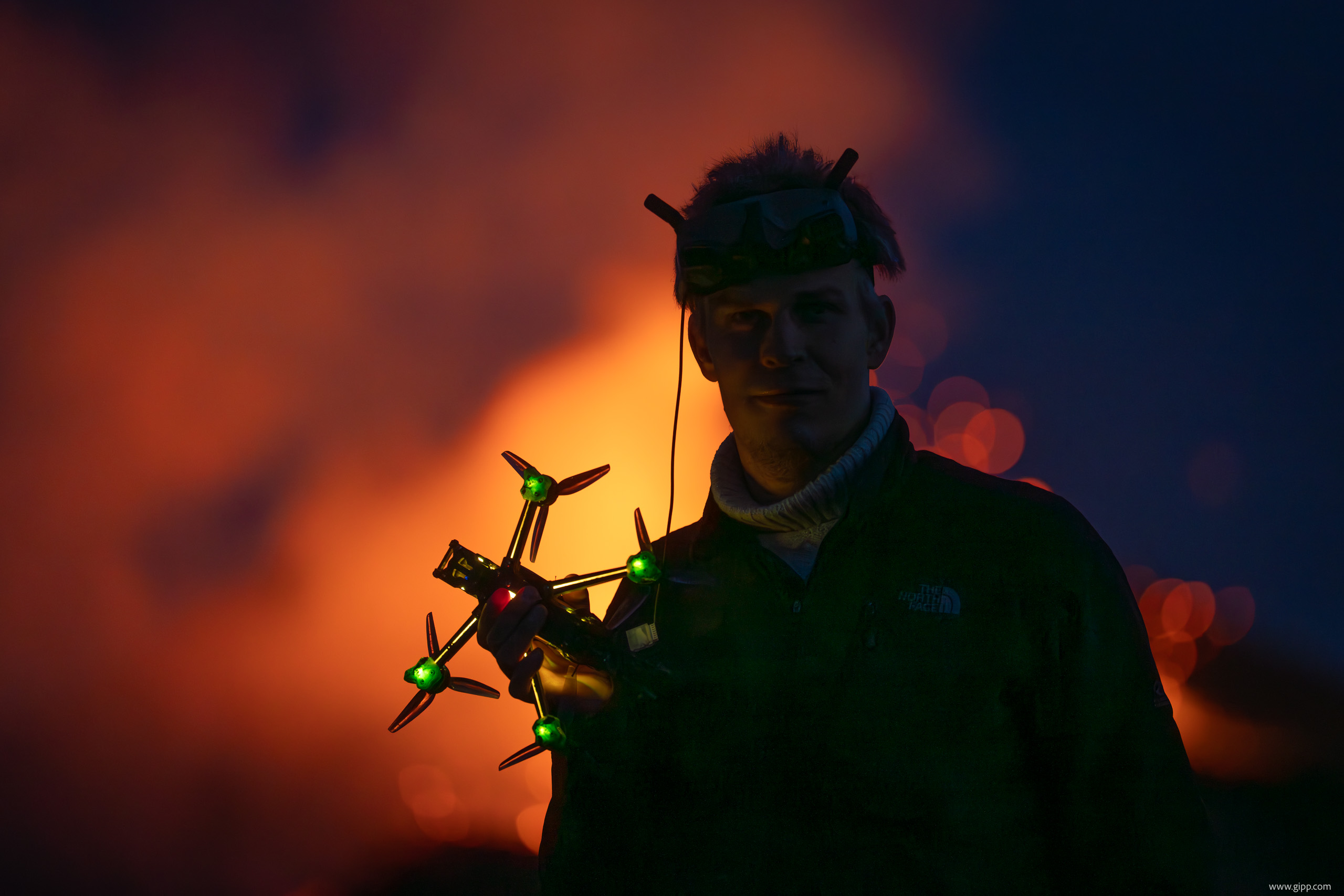
In this practical course, the students learn the theoretical and practical basics of these innovative and complex flying objects and use them for research projects. The focus of the seminar is on the development of quadcopters that are controllable via FPV goggles (First Person View), can reach ranges of approx. 10 km and top speeds of 180 kph.
One research project, for example, will be the (continued) development of a rescue drone for fawns. This hexacopter, equipped with an infrared camera, will use innovative computer vision (artificial intelligence) to independently fly over agricultural areas and automatically locate fawns. This can prevent the animals from being injured or killed by agricultural machines. In contrast to existing systems, the rescue drone allows searching for fawns in an automated and cost-effective manner.
Of course, the participants can also implement own ideas with support by experts. The required components, devices, and materials are provided by the chair.
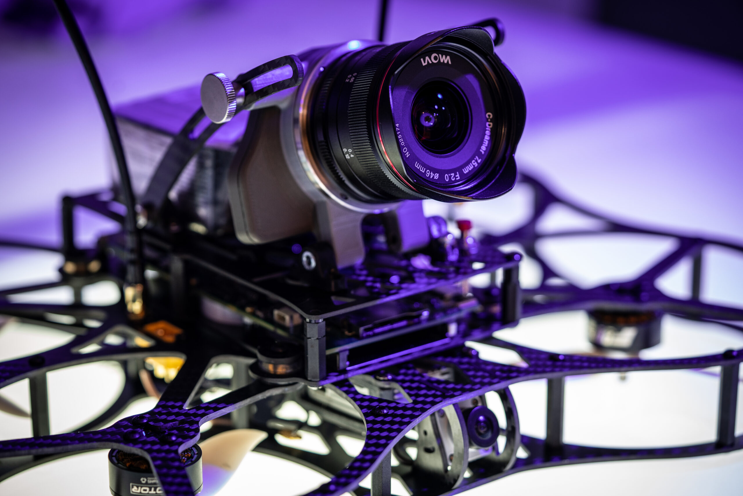
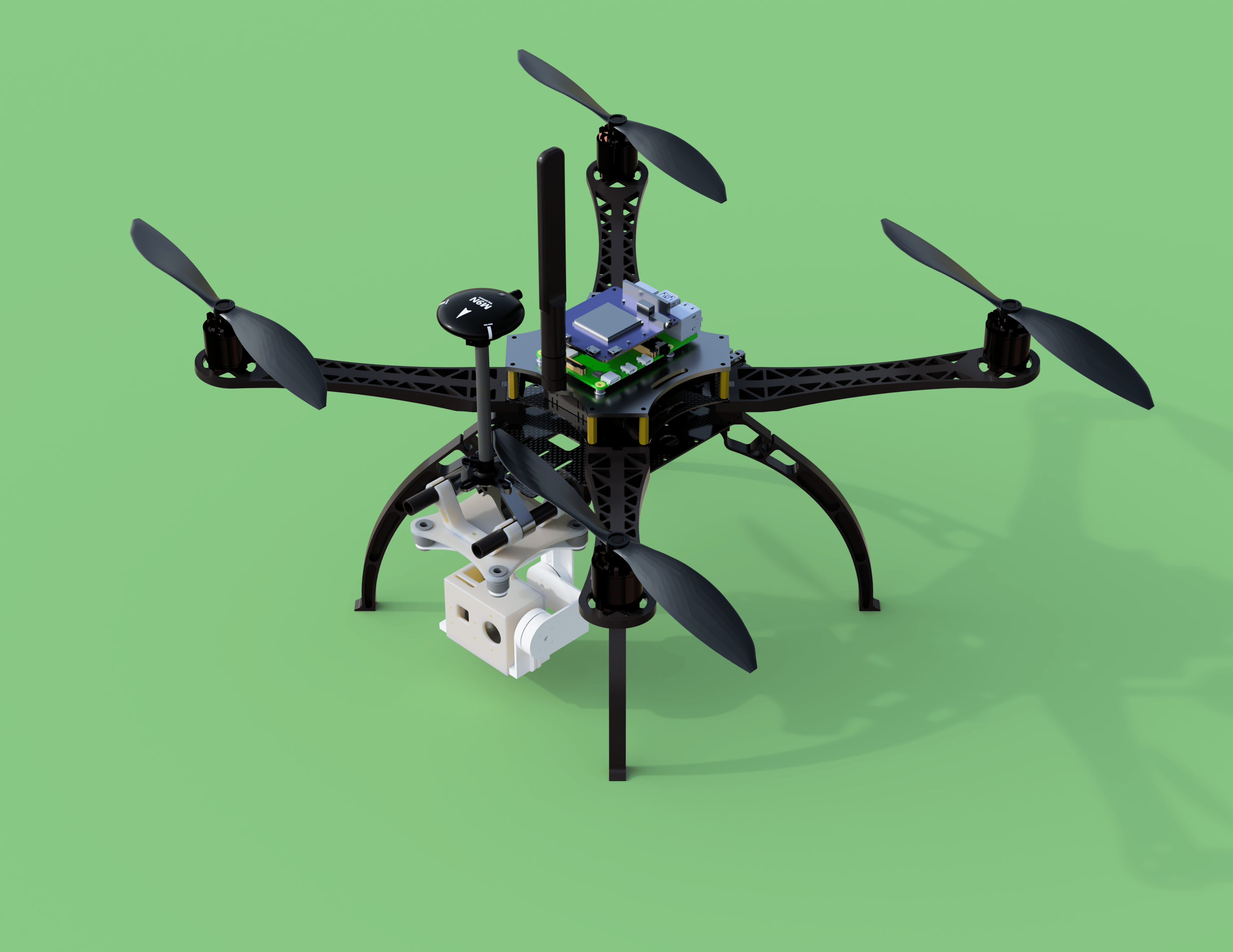
An example of what we build
We designed this copter using CAD software, built, programmed, and eventually flew it.
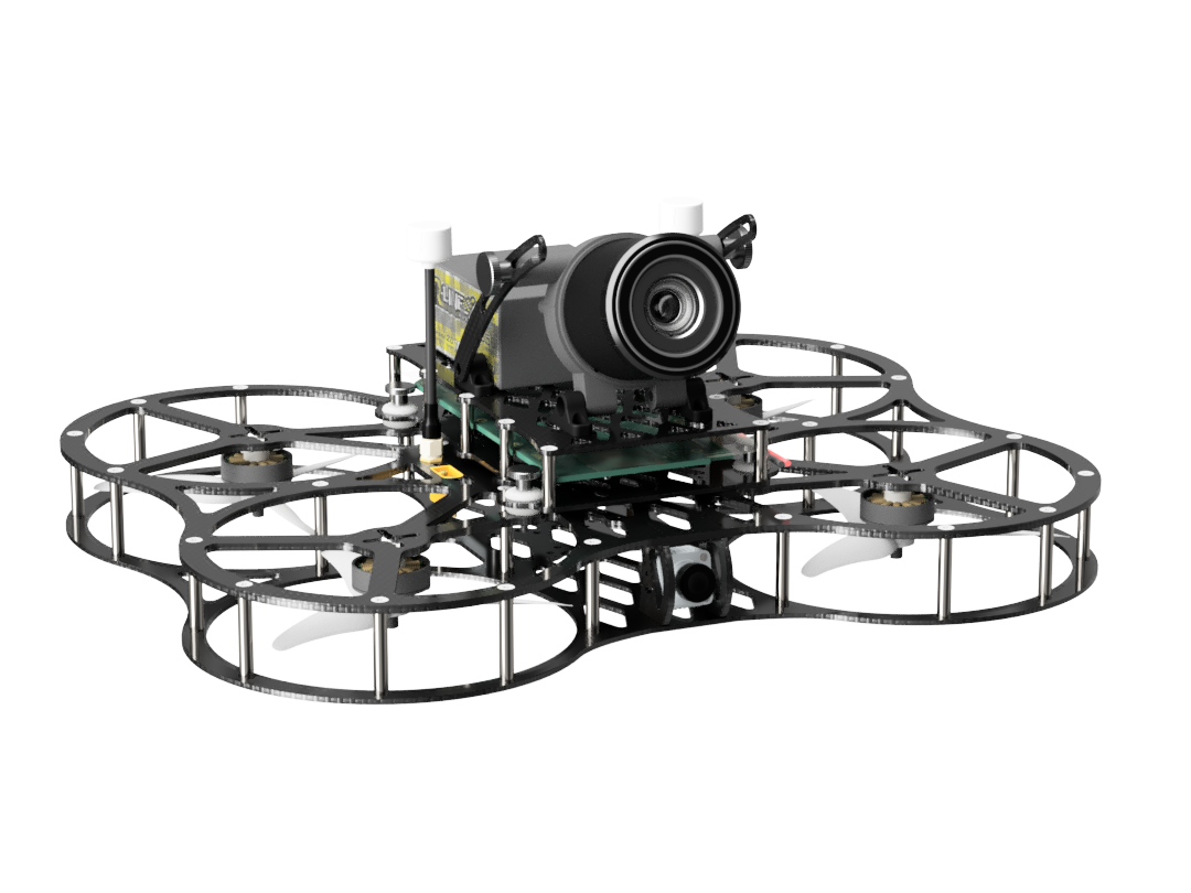
The result
It flies great!
Course Content
The practical course will cover the following topics:
- The functionality of quadcopters (theory and practice),
- Design (CAD-based),
- Construction and realization,
- 3D printing,
- Manufacturing of the design (incl. soldering etc.),
- Programming,
- PID tuning & vibration reduction,
- Flying on a simulator,
- Flying the copter in acro mode (full-manual)
Additional topics will be covered (as needed):
- Developing Advanced AI Applications (e.g., computer vision),
- Light Detection & Ranging (LIDAR),
- Autonomous flying (AI & GPS),
- Radio standards for long-range,
- Soldering techniques,
- Video recording and editing,
- Autopilot,
- Betaflight and other flight controller software,
- Ethical and legal issues of using drones,
- … and numerous other interesting topics
Learning Objectives
After successfully completing the course, students should be able to:
- Design, program, construct, tune and fly quadcopters.
- Acquire competencies in computer science, electrical engineering, and media technology.
Videos
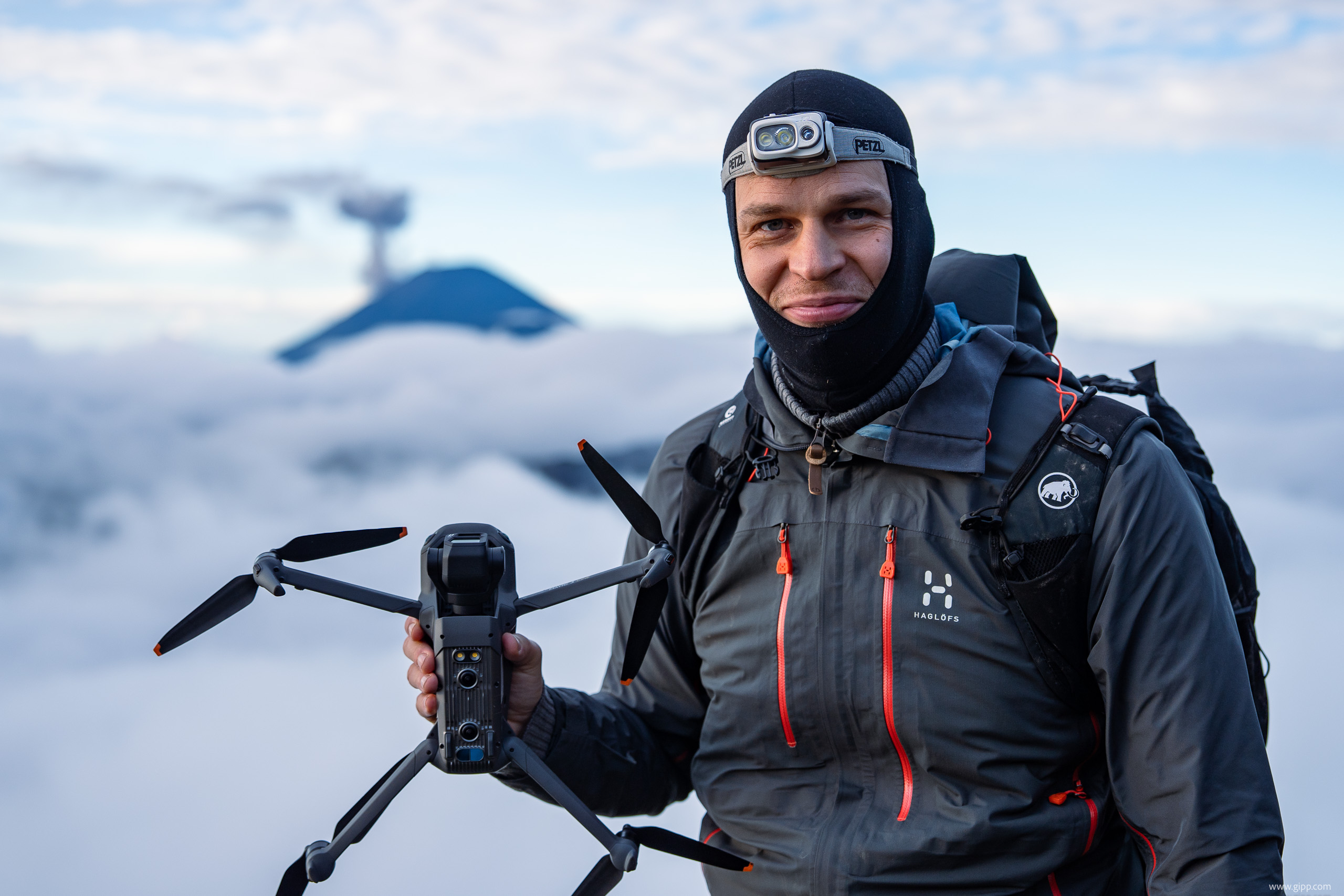
To watch quadcopter flights filmed with self-build drones and flown by the course instructor, Bela Gipp, click on the phone below:

Beginner and Advanced course?
The seminar is offered in the winter semester for beginners and in the summer semester for students, who have already taken the beginners course (exceptions may be possible).
How to sign up for this course?
- To ensure high teaching quality, the number of participants is limited. The course language is German (you need to be fluent). If you’re interested in participating, please sign up on the waitlist on StudIp.
- Prof. Gipp will contact everyone on the waitlist approximately 2 weeks before the course starts with additional information.
Exam
- Oral examination regarding the practical project (20 min).
Instructor
Time schedule
| Type | Day | Time | Periodicity | Room | Dates |
|---|---|---|---|---|---|
| seminar | Wed | 14:15 – 17:15; We’ll meet both in the lab and outside (for testing and flying). | weekly (with exceptions) | HG 0.202 (Lab of Group Gipp) | The seminar is offered in the winter semester for beginners and in the summer semester for students, who have already taken the beginners course (exceptions may be possible). |
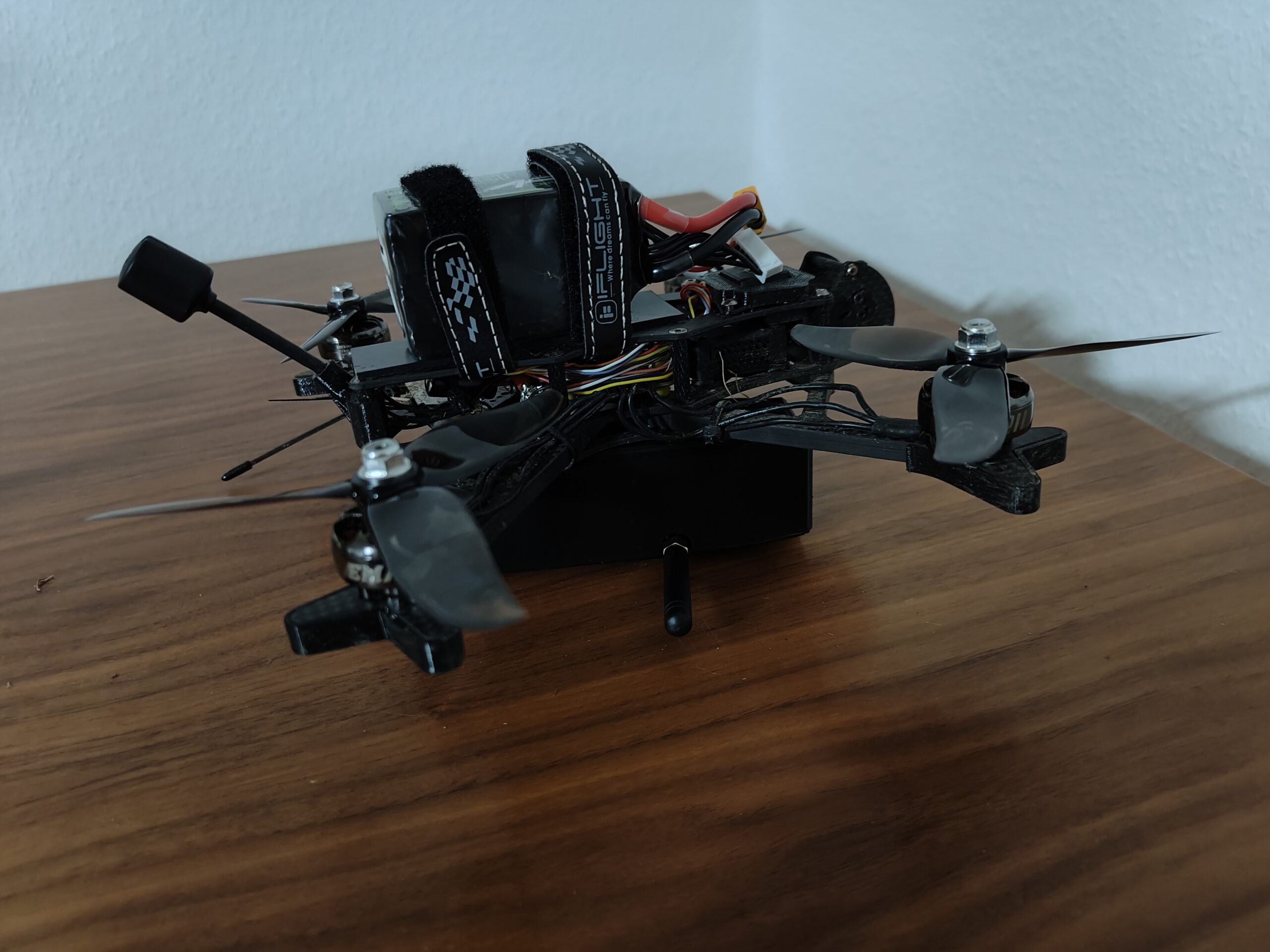
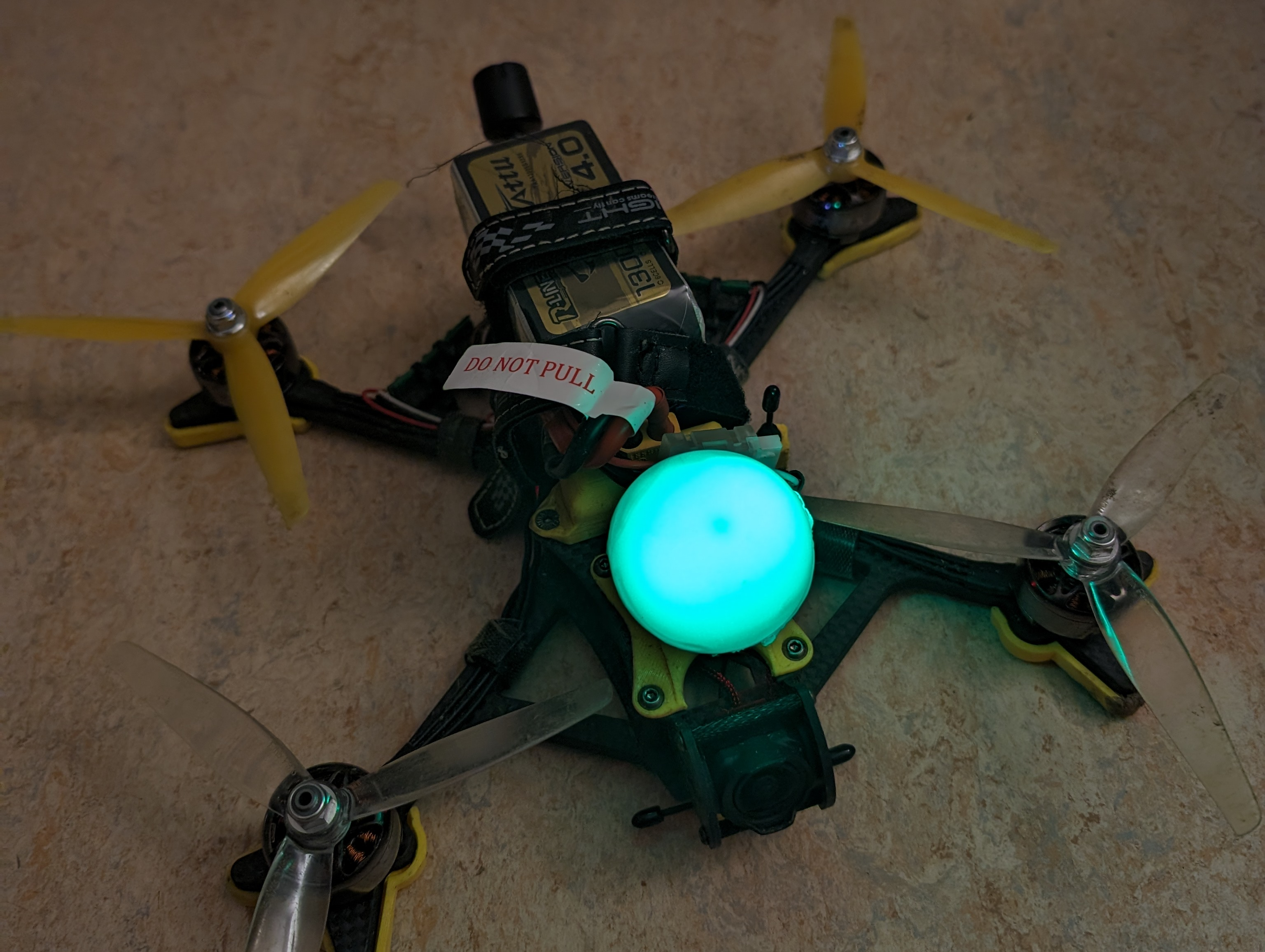
Student Projects


Selected Publications
-
![[PDF]](https://gipplab.uni-goettingen.de/wp-content/plugins/papercite/img/pdf.png) L. J. Francis, G. L. Geissler, N. Okole, B. Gipp, C. Stachniss, and R. Heim, "ReflectDetect: A software tool for AprilTag-guided in-flight radiometric calibration for UAV-mounted 2D snapshot multi-camera imagery," SoftwareX, vol. 30, p. 6, 2025.
L. J. Francis, G. L. Geissler, N. Okole, B. Gipp, C. Stachniss, and R. Heim, "ReflectDetect: A software tool for AprilTag-guided in-flight radiometric calibration for UAV-mounted 2D snapshot multi-camera imagery," SoftwareX, vol. 30, p. 6, 2025.
[Bibtex]@article
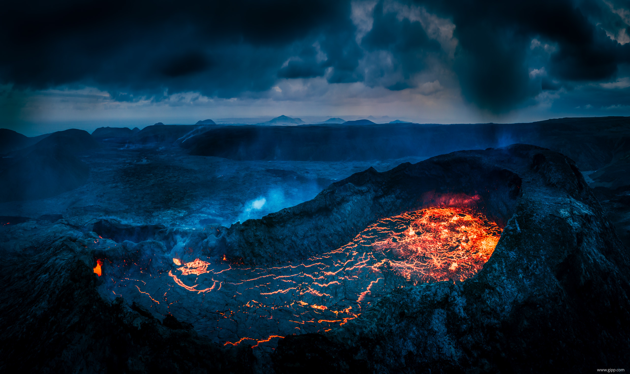
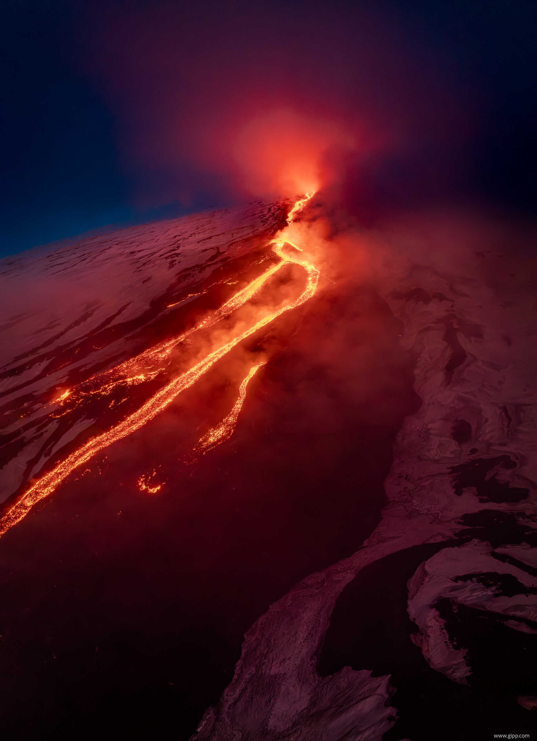
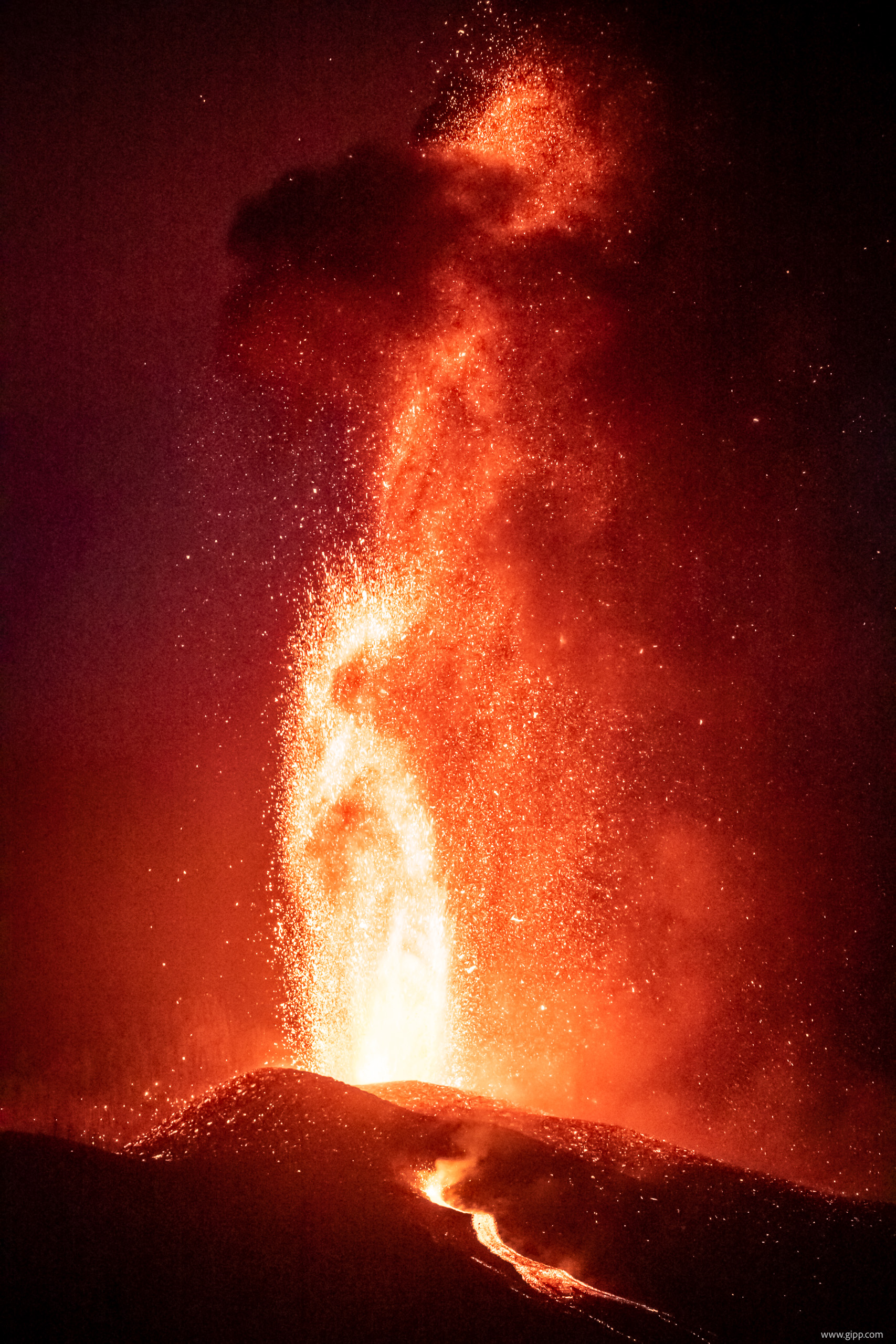
Volcano Research with Drones
As part of our course, we designed and built custom drones for research purposes. The following section provides an overview of their potential applications, scientific value, and practical limitations in operation.
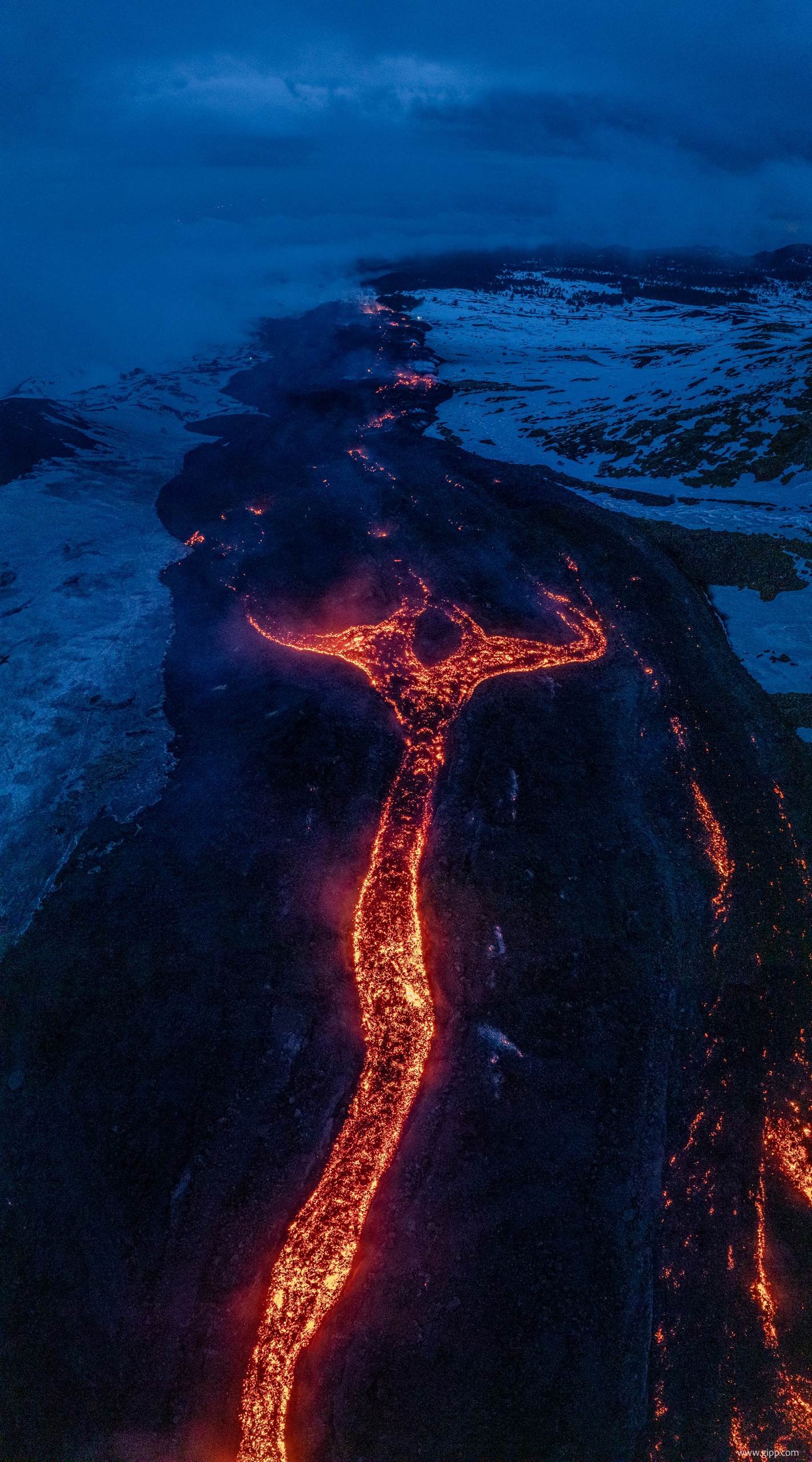
Volcanological research faces a basic observational dilemma: the most informative places—active vents, lava domes, fresh lava flows, and eruption plumes—are often too dangerous or inaccessible for scientists. Unoccupied aircraft systems (UAS), commonly called drones, occupy the scale between fixed ground stations, satellites, and crewed aircraft. They can be deployed quickly, fly repeated low-altitude trajectories, and carry cameras, spectrometers, gas sensors, meteorological probes, magnetometers, or sampling devices. Their principal scientific advantage is therefore not simply a reduction in cost. Drones can obtain spatially resolved in situ measurements while keeping personnel outside the most hazardous zone, and they can repeat the same survey often enough to reveal change.
Volcanic gases: composition, flux, and magma processes
Volcanic-gas measurements are among the most important drone applications. Carbon dioxide (CO2), sulfur dioxide (SO2), water vapour, hydrogen sulfide, and halogen species provide indirect information about magma storage, ascent, and degassing. In particular, temporal changes in ratios such as CO2/SO2 can reflect the depth and evolution of the degassing source, although no single gas ratio is a deterministic eruption predictor. Instrumented drones can cross a plume at several heights, record gas concentration together with position and wind, and thereby estimate both composition and emission flux. The first published UAV measurements of volcanic CO2 flux were made at La Fossa crater on Vulcano, Italy. A helicopter UAV carried ultraviolet, infrared, and electrochemical instruments; combining the measured SO2 flux with the CO2/SO2 ratio yielded an estimated CO2 flux of 170 metric tons per day (McGonigle et al., 2008).
Later systems extended this concept from short multicopter flights to long-range and beyond-visual-line-of-sight missions. At Manam volcano in Papua New Guinea, aerial measurements were integrated with ground-based spectroscopy and satellite observations to determine multi-species gas fluxes at a strong but previously poorly characterised emitter. The campaign also enabled near-real-time plume chemistry and collection of samples for carbon-isotope analysis (Liu et al., 2020). Miniaturisation now permits useful SO2 and CO2 measurements with platforms weighing little more than one kilogram (Karbach et al., 2022). Drones can also carry bags or flasks rather than only electronic sensors. At Aso volcano, a sampler used an SO2 threshold to trigger a pump inside the plume; radio telemetry then helped the operator position the aircraft in gas-rich regions and recover samples suitable for isotope analysis (Tsunogai et al., 2022).
Photogrammetry, thermal imaging, and eruption dynamics
A second major application is high-resolution mapping. Overlapping RGB photographs can be processed with Structure-from-Motion photogrammetry to create georeferenced orthomosaics, dense point clouds, and digital elevation models (DEMs). Repeated DEMs allow researchers to calculate lava-flow thickness and volume, dome extrusion rates, erosion, crater growth, fissure opening, or flank deformation. During the 2017 eruption of Mount Etna, two UAV surveys acquired almost 1,170 images over an active lava field. The resulting map supported civil protection work, while the DEM enabled an erupted-volume estimate of approximately 1.4 million cubic metres (De Beni et al., 2019). Such centimetre-scale products fill an important gap: satellite data cover large areas but often lack comparable detail, whereas terrestrial surveys may not have a safe line of sight.
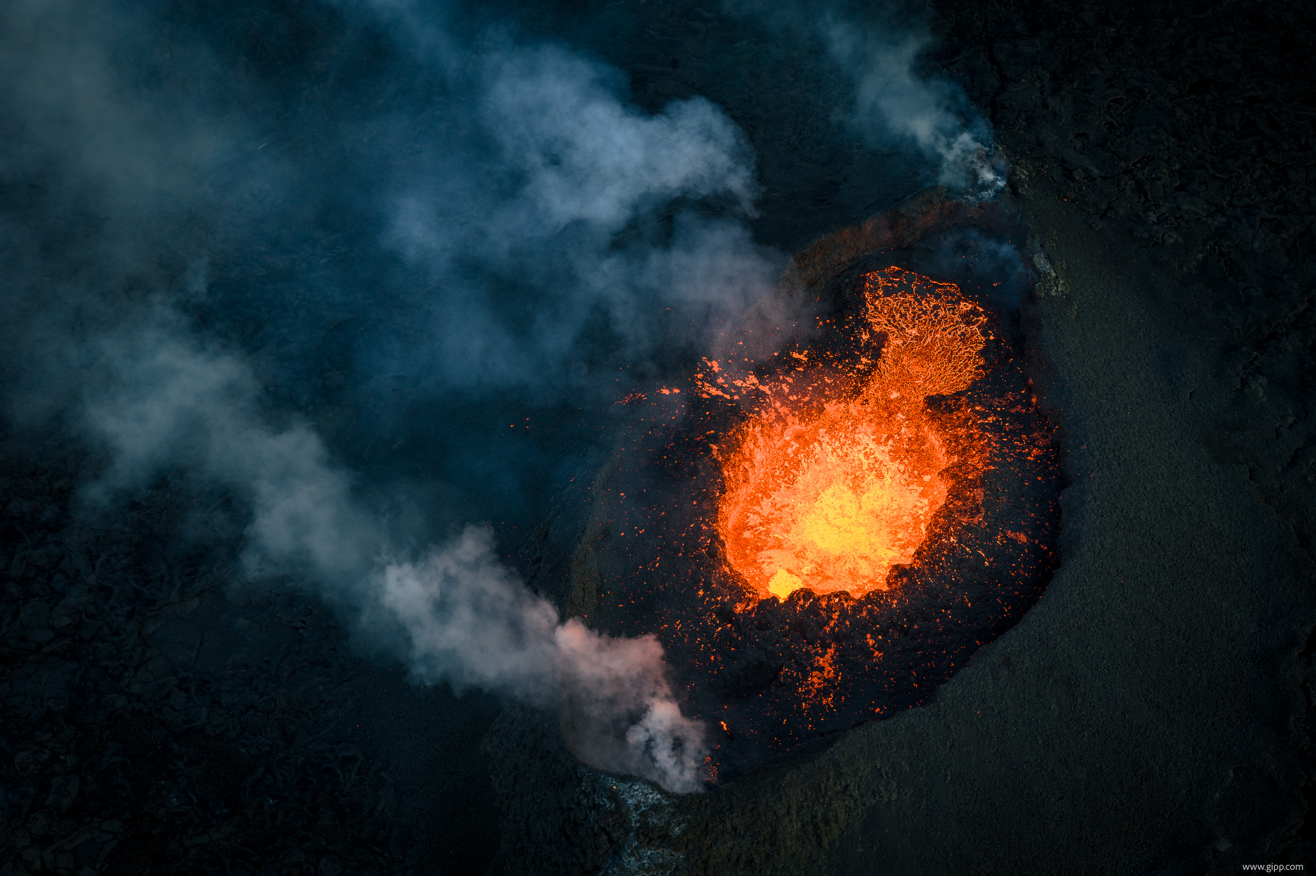
Thermal cameras add information that visible imagery cannot provide. They can locate hot cracks, active fumaroles, lava channels, newly exposed dome material, and hydrothermally altered zones. At Merapi, drone photogrammetry and thermal observations identified a fractured, thermally active sector of the lava dome. Stability and flow modelling indicated that failure of this sector could generate a block-and-ash flow travelling several kilometres, demonstrating how drone data can feed directly into hazard scenarios (Darmawan et al., 2018). Video and topographic mapping can also address eruption physics. At the 2014–2015 Holuhraun eruption in Iceland, UAV-derived topography was combined with observations of lava fountains to relate changing vent activity to the morphology of growing spatter cones and to infer properties of the shallow feeder system (Witt et al., 2018).
Ash, aerosols, and geophysical surveys
Drones are increasingly used as mobile laboratories inside volcanic clouds. The AeroVolc system, deployed at Sakurajima and Etna, combined custom ash collectors, optical particle counters, and gas sensors. It recovered grain-size distributions and evidence of particle aggregation while measuring PM1, PM2.5, PM10, SO2, and CO2 (Thivet et al., 2025). These observations improve models of plume dispersion and sedimentation and are relevant to aviation, air quality, and atmospheric chemistry. Other payloads extend drones beyond imaging and chemistry. Lightweight magnetometers can map contacts between volcanic units and detect anomalies associated with thermal or intrusive structures; repeated low-altitude surveys may reveal temporal change that is difficult to capture from the ground (Gailler et al., 2021). Drones can additionally deploy temporary sensors or retrieve ash and gas samples from locations that would otherwise require high-risk fieldwork.
Limitations and the role of drones in monitoring systems
Volcanic environments are unusually hostile to aircraft. Strong winds, plume turbulence, low air density at high elevation, corrosive gases, moisture, heat, and ash all reduce reliability. Ash is not merely an imaging nuisance: an sUAV at Stromboli suffered motor blockage after ash entered its rotating motors, causing an uncontrolled landing (Brosch, 2022). Battery endurance and payload remain tightly coupled, and long-range flights may require regulatory approval for operations beyond visual line of sight. Measurement quality also requires care. Rotor downwash can disturb particles and dilute local gas concentrations; low-cost sensors may respond slowly, drift, or show cross-sensitivities; wind fields within a plume are heterogeneous; and reliable photogrammetry requires accurate georeferencing and sufficient image overlap. Good deployments therefore use calibrated instruments, background measurements, synchronised meteorological data, explicit uncertainty estimates, conservative weather limits, and flight plans that treat loss of the aircraft as a credible event.
Drones consequently do not replace observatories, satellites, or ground instruments. Their value lies in connecting these systems: they provide the local detail missing from satellite products, the spatial context missing from fixed stations, and direct samples that remote sensing cannot supply. Used repeatedly and integrated with seismic, deformation, thermal, and satellite data, UAS can improve both process research and operational hazard assessment.
References
- Brosch, E. (2022). Volcanic ash and small uncrewed aerial vehicle (sUAV) interaction: In situ observations and laboratory experiments on aircraft failure. Frontiers in Earth Science, 10, 810962. https://doi.org/10.3389/feart.2022.810962
- Darmawan, H., Walter, T. R., Troll, V. R., & Budi-Santoso, A. (2018). Structural weakening of the Merapi dome identified by drone photogrammetry after the 2010 eruption. Natural Hazards and Earth System Sciences, 18, 3267–3281. https://doi.org/10.5194/nhess-18-3267-2018
- De Beni, E., Cantarero, M., & Messina, A. (2019). UAVs for volcano monitoring: A new approach applied on an active lava flow on Mt. Etna (Italy), during the 27 February–02 March 2017 eruption. Journal of Volcanology and Geothermal Research, 369, 250–262. https://doi.org/10.1016/j.jvolgeores.2018.12.001
- Gailler, L., Labazuy, P., Régis, E., Bontemps, M., Souriot, T., Bacques, G., & Carton, B. (2021). Validation of a new UAV magnetic prospecting tool for volcano monitoring and geohazard assessment. Remote Sensing, 13(5), 894. https://doi.org/10.3390/rs13050894
- Karbach, N., Bobrowski, N., & Hoffmann, T. (2022). Observing volcanoes with drones: Studies of volcanic plume chemistry with ultralight sensor systems. Scientific Reports, 12, 17890. https://doi.org/10.1038/s41598-022-21935-5
- Liu, E. J., Aiuppa, A., Alan, A., et al. (2020). Aerial strategies advance volcanic gas measurements at inaccessible, strongly degassing volcanoes. Science Advances, 6(44), eabb9103. https://doi.org/10.1126/sciadv.abb9103
- McGonigle, A. J. S., Aiuppa, A., Giudice, G., Tamburello, G., Hodson, A. J., & Gurrieri, S. (2008). Unmanned aerial vehicle measurements of volcanic carbon dioxide fluxes. Geophysical Research Letters, 35, L06303. https://doi.org/10.1029/2007GL032508
- Thivet, S., Bagheri, G., Kornatowski, P. M., et al. (2025). In situ volcanic ash sampling and aerosol–gas analysis based on UAS technologies (AeroVolc). Atmospheric Measurement Techniques, 18, 2803–2824. https://doi.org/10.5194/amt-18-2803-2025
- Tsunogai, U., Shingubara, R., Morishita, Y., Ito, M., Nakagawa, F., Yoshikawa, S., Utsugi, M., & Yokoo, A. (2022). Sampling volcanic plume using a drone-borne SelPS for remotely determined stable isotopic compositions of fumarolic carbon dioxide. Frontiers in Earth Science, 10, 833733. https://doi.org/10.3389/feart.2022.833733
- Witt, T., Walter, T. R., Müller, D., Guðmundsson, M. T., & Schöpa, A. (2018). The relationship between lava fountaining and vent morphology for the 2014–2015 Holuhraun eruption, Iceland, analyzed by video monitoring and topographic mapping. Frontiers in Earth Science, 6, 235. https://doi.org/10.3389/feart.2018.00235